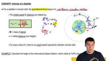
The Navstar Global Positioning System (GPS) utilizes a group of 24 satellites orbiting the Earth. Using “triangulation” and signals transmitted by these satellites, the position of a receiver on the Earth can be determined to within an accuracy of a few centimeters. The satellite orbits are distributed around the Earth, allowing continuous navigational “fixes.” The satellites orbit at an altitude of approximately 11,000 nautical miles [1 nautical mile = 1.852km = 6076ft].
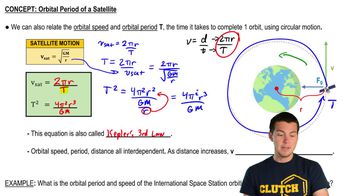
(b) Determine the period of each satellite. [Originally, 1 nautical mile was defined as one minute ( 1/60 of a degree) of latitude on Earth’s surface. 1 knot is a speed of 1 nautical mile/h.]


